Real-Time Flood Forecasting
Levee-breach flood forecasting with distributed sensors in the floodplain.
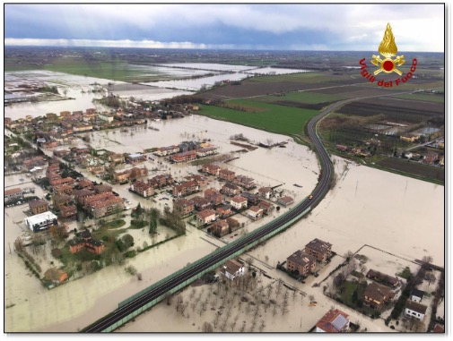
Levee-breach floods are difficult to prepare for because where and when a levee might breach is challenging to predict. Once a levee breaches, the flooding rapidly expands in the floodplain with little time for emergency response and evacuation. One solution is to install depth sensors in the floodplain close to the levees that continuously monitor for flood waters at a known location. During a flood, the sensor readings can be used to calibrate a flood model in real time to provide emergency planners with the necessary information to guide their response.
Our research focused on where to place sensors in the floodplain and how best to use that sensor data to calibrate a high-resolution (~1-meter) flood model. The goal was to issue accurate downstream forecasts of the flood with sufficient (>1 hour) lead time for emergency planning purposes. Model calibration focused on the land surface roughness parameterization, as the influence of vegetation on the flood propagation can vary widely depending on the season. Our results showed that floodplain sensors paired with automated parameter calibration could be a useful tool for municipalities that are in levee-protected floodplains.
Read the Paper